


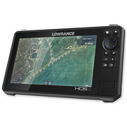
Redefining Marine Navigation
Our Marine GPS cards use the highest quality Satellite Aerial Imagery combined with accurate Navigation overlays to help you stay safe on the water.
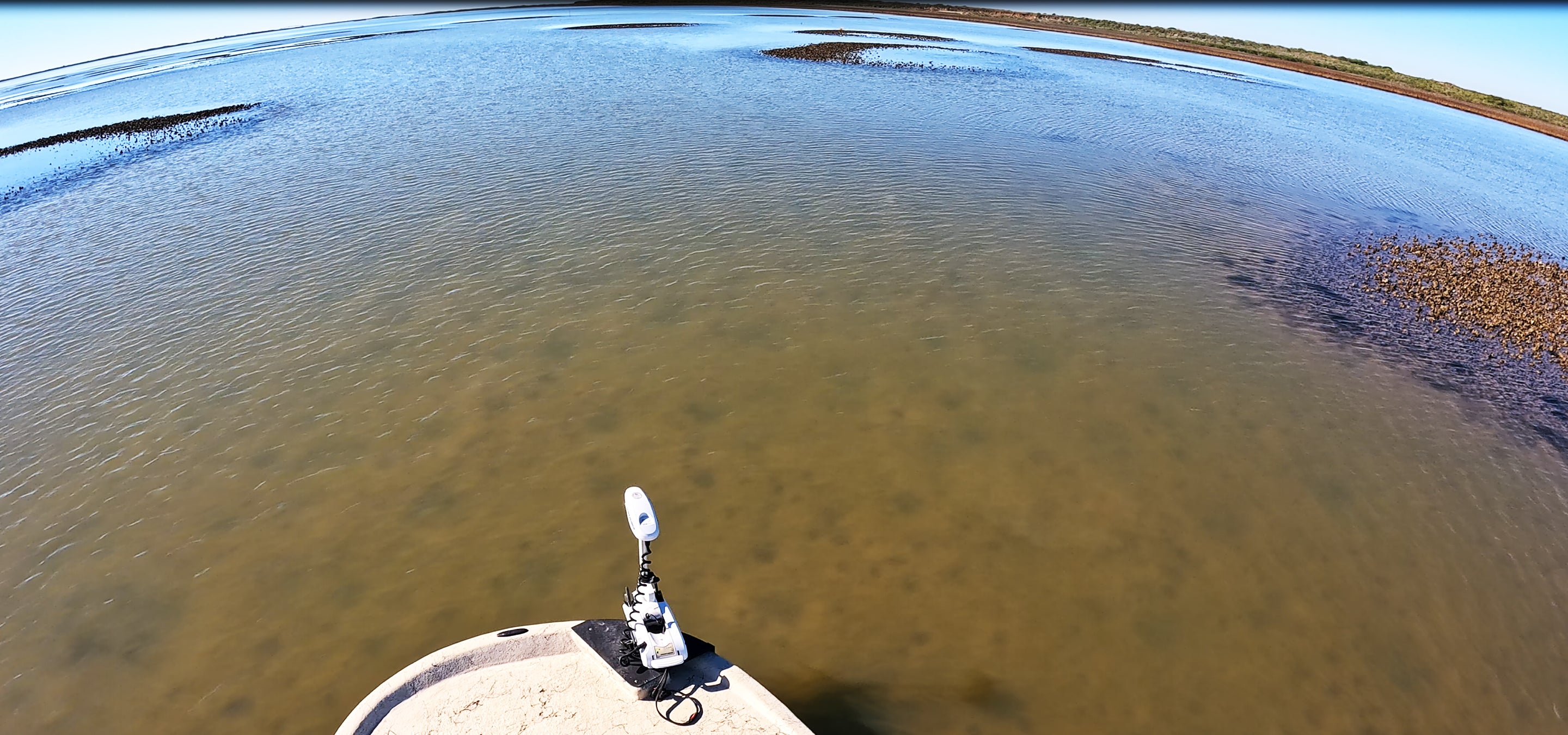
Satellite Imagery
Experience High Resolution Satellite Imagery on your GPS Unit
Zoom Levels
Seamless Zoom Levels from 12k m/px down to 1 m/px for extreme precision
NOAA Overlays
Precise NOAA overlays of Safe Fairway Tracks, Buoys, Hazards, Channel Markers and more.
Explore
Explore the entire coast without fear using accurate Maps and navigation Points.